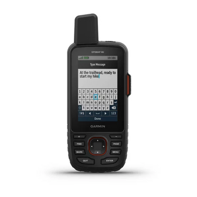
GPSMAP 66i - GPS inReach Handheld Satellite Communicator
Garmin
$849.00
Satellite Communication
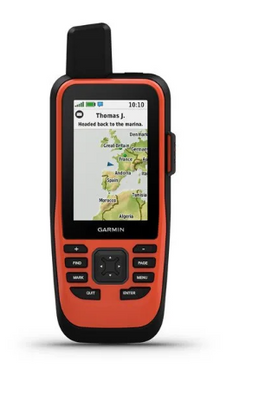
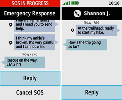
Unlike the GPSMAP 66s and 66st, the 66i includes inReach satellite communication technology which is a game changer for staying in touch when you're out in the field.. Using inReach technology (subscription required), this handheld lets you trigger an SOS to the GEOS 24/7 emergency response team for interactive support in an emergency. It also enables two-way messaging and LiveTrack location sharing via the 100% global Iridium satellite network, so you can stay in contact with loved ones, teammates, headquarters and more.
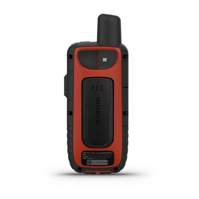
Navigate your next outdoor adventure with the GPSMAP 66 series - the Garmin GPSMAP66i is a perfect fit with New Zealand's great outdoors. Our natural environment is an open invitation for hiking, hunting, climbing, geocaching, kayaking or mountain biking - you can explore more with this premium, rugged handheld with a 3" color display. It features access to BirdsEye Satellite Imagery with direct-to-device downloads to help you find your way with TOPO maps on GPSMAP 66i. And it offers multi-GNSS support as well as wireless connectivity for Active Weather, direct downloads and Garmin Explore compatibility.
See Where You're Headed - Get a better picture of your location with high-resolution photo-realistic views of your route, thanks to direct-to-device downloads of BirdsEye Satellite Imagery -- without an annual subscription. You'll see a true representation of your surroundings to find trails, trailheads, and clearings for campsites, to pick stand locations for hunting, to find parks and parking for geocaching and even to create waypoints based on landmarks.
Explore with Garmin - Even when you're offline and have no cell service, the GPSMAP 66 series pairs with the Garmin Explore mobile app to let you plan, review and sync data, including waypoints, routes, and tracks. Plus, you can review completed activities while still in the field, even when you're off the grid. Once you're home again, plan for future trips and review previous activities from the Garmin Explore website.
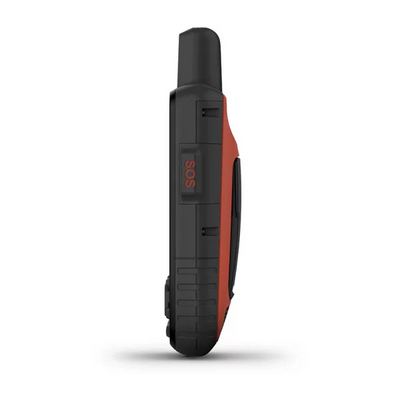
Utility in Adverse Environments - Be prepared for the most extreme adventures. The GPSMAP 66 series offers up to 16 hours of battery life in GPS mode and 1 week in expedition mode (with 2 AA batteries). It provides an LED flashlight and SOS beacon that can be used to signal for help. It's built to military standards for thermal, shock and water performance (MIL-STD-810G), and it's even compatible with night vision goggles!
- Trigger an interactive SOS with 24/7 search and rescue monitoring centeSend and receive text messages to SMS and email
- Send and receive messages with other inReach® users, exchange locations
- battery life: up to 35 hours at 10-minute tracking; up to 200 hours at 30-minute tracking (power save mode)
- Physical dimensions: 2.6³ x 6.4³ x 1.4³ (6.6 x 16.3 x 3.5 cm)
- Display resolution: 240 x 400 pixels
- Weight: 8.5 oz (241 g) with batteries
- Batterys:rechargable internal Lithium ion
- Water Rating: IPX7
- Memory/History: 16 GB
- Waypoints/favorites/locations: upto 10000
- Routes: up to 250
- Track log: up to 20000 points, 250 saved gpx tracks, 300 saved fit activities
- Compass: tilt-compensated 3-axis
- Garmin Explore compatible: yes
- Active weather: yes
- Wireless compatible: yes (Wi-Fi, Bluetooth and ANT+)
Download the manual here

